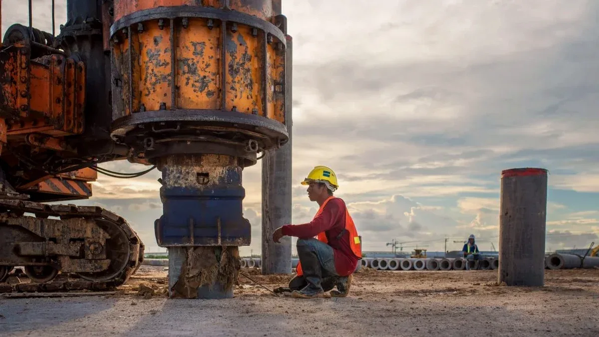
We see it all the time in Roseville: a site investigation gets approved with solid blow counts from an SPT drilling program, but the geotechnical report comes back with a default Site Class D. That assumption triggers steeper seismic design forces, heavier foundation costs, and sometimes a redesign from the structural engineer. The root cause is missing shear wave velocity data. Without a direct VS30 measurement, ASCE 7 forces the engineer into the most conservative default—even when the subsurface is stiffer than assumed. We run active MASW lines that extract Rayleigh wave dispersion directly and invert it to a VS profile, giving you a defensible Site Class C or better when the ground supports it. In a city growing as fast as Roseville, with commercial pads going in along Highway 65 and subdivisions pushing into the eastern terraces, that one measurement can change the project economics.
A measured VS30 of 400 m/s versus a default Site Class D can drop the base shear coefficient by 30% under ASCE 7—real structural savings.
Our approach and scope
Local ground factors
Roseville sits roughly 50 meters above sea level on the eastern edge of the Sacramento Valley, about 140 km from the San Andreas Fault and closer to the Cleveland Hills and Bear Mountains fault zones. The 2014 South Napa earthquake—a modest M6.0—produced ground motions that reminded engineers across the Central Valley that basin-edge effects amplify shaking even at distance. Clay-rich alluvium and the transition from valley fill to crystalline rock beneath Roseville create lateral velocity gradients that MASW can map spatially. When we run parallel lines across a site, we often see a 15-20% VS30 variation within the footprint of a single building pad. That matters for projects using response spectrum analysis: a uniform site class assumption can miss zones where soft clay lenses or buried stream channels push the fundamental period into a different spectral acceleration plateau. We address this by delivering 2D VS cross-sections that the structural engineer can overlay with foundation plans.
Applicable standards
ASCE 7-22 Minimum Design Loads and Associated Criteria for Buildings and Other Structures, IBC 2024 Chapter 16 Structural Design, Table 1613.2.2 Site Classification, ASTM D7400 Standard Test Methods for Downhole Seismic Testing (methodological reference for surface-wave cross-check), NEHRP Recommended Seismic Provisions for New Buildings and Other Structures (FEMA P-1050)
Complementary services
Standard VS30 Determination
One or two MASW lines for typical commercial lots and single-family subdivisions. Includes full dispersion analysis, 1D VS profile, and a signed site class letter per IBC/ASCE 7.
2D Shear Wave Velocity Mapping
Multiple parallel MASW lines processed into cross-sections for projects requiring spatial variation data—useful for irregular footprints, deep excavations, or sites crossing mapped alluvial boundaries.
Combined Geophysical & Drilling Package
MASW paired with SPT borings or CPT soundings. The velocity data calibrates the boring logs, and the boring logs ground-truth the geophysics. We deliver a unified geotechnical model with consistent layer boundaries.
Typical parameters
Quick answers
How much does a MASW seismic survey cost in Roseville?
For a standard commercial or residential site in the Roseville area, budget between US$1,740 and US$2,970 for a one- or two-line MASW survey with full reporting and site class determination. The final figure depends on line length, number of spreads, and whether we need to clear vegetation or work around existing structures. We provide a fixed-price proposal after reviewing your site plan—no surprises.
How long does the field work take and when do we get results?
Field acquisition for two MASW lines is typically one day. We process the data within three to four business days and deliver a draft VS30 report with the site class letter. Rush turnaround is available if you are up against a permit deadline.
Can you run MASW on paved lots or inside existing warehouses?
Yes, with adjustments. On asphalt or concrete, we bolt geophones to the surface with expansion anchors or use high-frequency triaxial units on a coupling plate. The harder surface actually improves source coupling—we get cleaner dispersion curves from a sledgehammer strike on pavement than on loose soil. Inside warehouses, we coordinate with your site manager for access and noise control.
What site class can we realistically expect in Roseville?
It depends on where your site sits. In the western and central parts of Roseville, we frequently measure VS30 in the 360-500 m/s range, which translates to Site Class C. Near the eastern edge where rock is shallow, values can push into Site Class B above 760 m/s. Low-lying areas along Dry Creek and its tributaries sometimes come back as Site Class D if thick soft alluvium is present. The only way to know is to measure—default assumptions cost money.