The transition from the flat Sacramento Valley floor into the rolling Sierra Nevada foothills defines much of the terrain around Roseville. This gentle uplift, combined with the decomposed granite and clay-rich soils typical of Placer County, creates subsurface conditions that demand rigorous investigation before any cut or fill operation begins. When a project sits near the Dry Creek corridor or any of the drainages feeding into it, the potential for shallow slumping increases significantly. We approach each Roseville site by mapping the stratigraphy—often heavily weathered near the surface—and then running the numbers to confirm that both short-term construction cuts and long-term permanent slopes remain stable under saturated conditions. A reliable test pit investigation lets us directly observe the contact between topsoil and weathered rock, which is often the critical failure plane in this region.
A slope that stands stable in August can fail in February: the difference is effective stress, and that is what we quantify.
Our approach and scope
Local ground factors
The city's growth from a railroad junction into a major suburb pushed development into areas with steeper natural gradients, particularly in the western and northern edges of the city limits. Many of these zones are underlain by Mehrten Formation volcanic mudflows and interbedded claystone—materials that lose strength dramatically when wetted. The biggest geotechnical risk we encounter is not deep-seated rotational failure but rather shallow flow slides within the top 3 to 6 feet, triggered by landscape irrigation or stormwater concentration behind retaining walls. When we combine our in-situ permeability testing with slope models, we often find that a simple French drain network or a cantilevered retaining wall with proper weep holes is enough to mitigate the hazard, provided the drainage layer is designed with a filter-compatible gradation that prevents fines migration and piping.
Applicable standards
ASCE 7-22 (Minimum Design Loads), IBC 2021 Chapter 18 (Soils and Foundations), ASTM D1586 (Standard Penetration Test), ASTM D2487 (Soil Classification), ASTM D3080 (Direct Shear Test)
Complementary services
2D and 3D Limit Equilibrium Modeling
We run multiple cross-sections through each proposed slope, using Spencer and Morgenstern-Price methods to satisfy both force and moment equilibrium. Our models incorporate piezometric data, seismic coefficients from the USGS hazard maps, and material strengths derived from site-specific laboratory testing—not just textbook correlations.
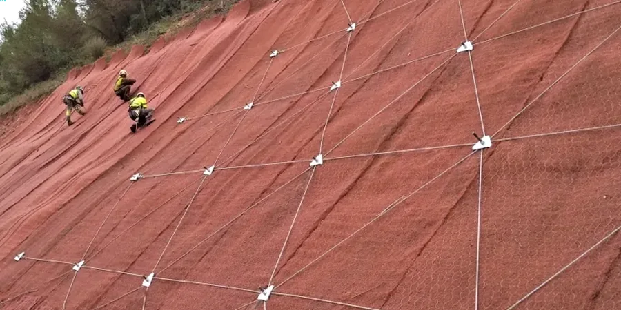
Stabilization and Repair Design
When existing slopes show distress—tension cracks, scarps, or leaning trees—we design remedial measures including buttress fills, tieback anchors, and subsurface drainage. Our repair plans account for Roseville's specific rainfall intensity-duration curves so that the dewatering system handles the 100-year storm event without erosion or blowout.
Typical parameters
Quick answers
How much does a slope stability analysis cost for a single-family home lot in Roseville?
For a typical residential lot in the Roseville area, a site-specific slope stability analysis generally ranges from US$1.180 to US$3.700. The final cost depends on the number of borings or test pits required, the complexity of the stratigraphy, and whether laboratory shear strength testing is needed on undisturbed samples.
What triggers a slope stability review by the Placer County building department?
A geotechnical slope stability report is typically required when grading plans propose cuts or fills exceeding 5 feet in height, when the natural slope is steeper than 2:1 (horizontal:vertical), or when the structure is located within a mapped landslide hazard zone. The reviewer will check that the static factor of safety meets the 1.5 minimum and that seismic pseudo-static analysis yields a FOS of at least 1.1.
What is the difference between drained and undrained slope analysis?
Drained analysis models long-term conditions where pore water pressures have dissipated, using effective stress parameters (c' and phi'). Undrained analysis applies to short-term loading on low-permeability soils like the claystone found in parts of Roseville, where excess pore pressure cannot dissipate during construction. We run both scenarios and select the critical case for design, which in Roseville is often the drained state after winter saturation.
How do you account for earthquakes in a Roseville slope stability model?
We apply a pseudo-static horizontal seismic coefficient derived from the site's mapped spectral acceleration at short periods (S_s), following ASCE 7-22. For Roseville, this typically falls between 0.15g and 0.25g depending on the site class. This coefficient is applied to the sliding mass in the limit equilibrium model to confirm the slope can withstand the design earthquake without catastrophic displacement.